Getting Online Around Mt Fuji and Kawaguchiko: SIM, eSIM and Pocket Wi-Fi
By Japan Connect Guide Team · Updated 9/12/2026
This page contains affiliate links. We may earn a commission if you make a purchase, at no extra cost to you. Learn more.
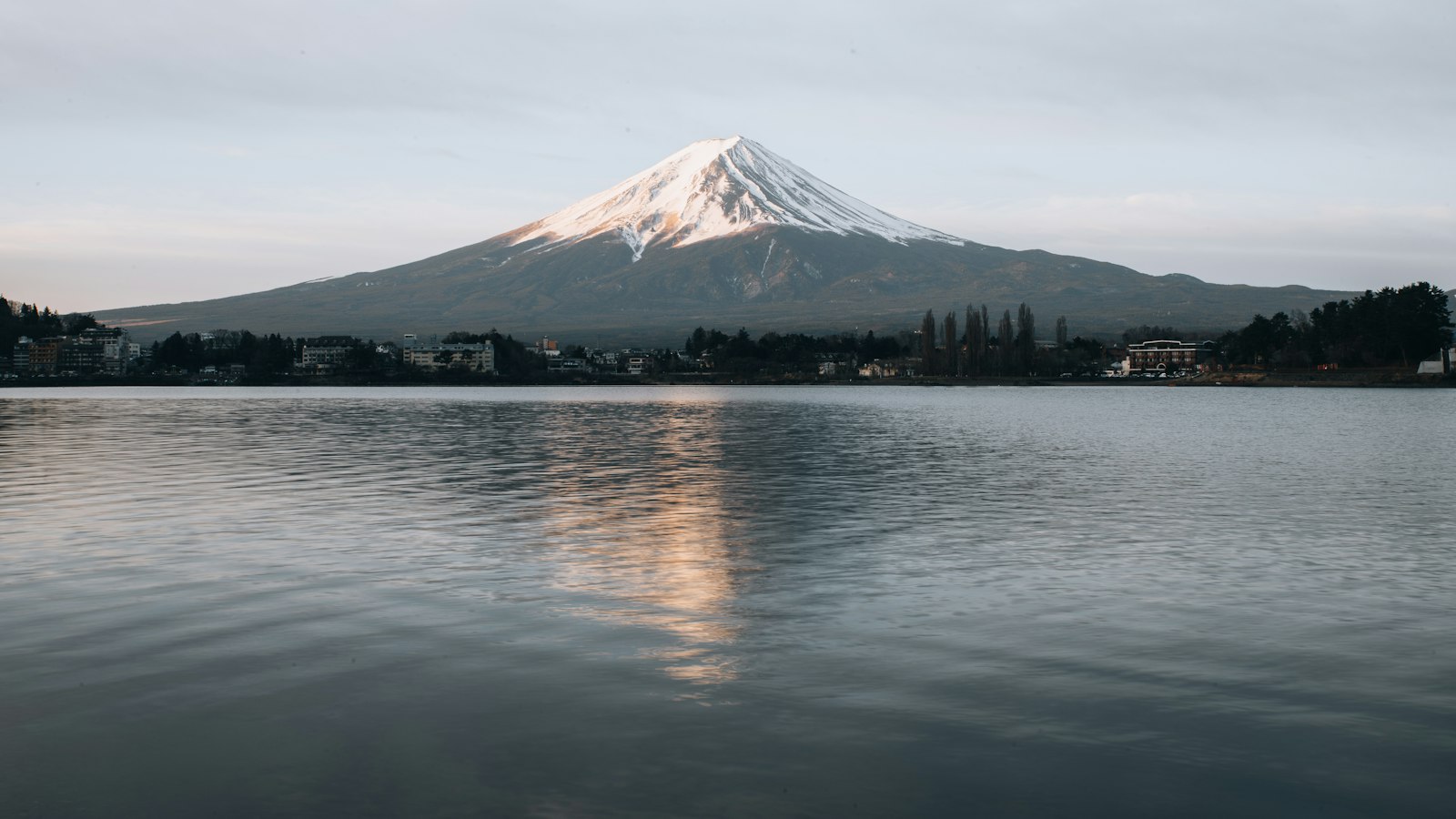
The Fuji Five Lakes area, and Kawaguchiko in particular, is where visitors mainly go to see the mountain rather than climb it. It is reachable from Tokyo by direct bus or by train, and it is the one destination in these guides where your connection has a job more specific than navigation: telling you whether you will see anything at all.
Quick answer
- Individual connections if your group may split up between viewpoints, lakes or trails
- An offline map of the lakes if coverage thins on the forested roads between them
- A power bank, kept warm if you are climbing, where cold and a long night flatten a battery
- Whatever covers your Tokyo stay if this is a day or overnight trip from Tokyo, and plans are nationwide
The weather decides your day, so checking it is the point
Fuji spends a great deal of the year hidden behind cloud. Visibility can change within an hour, and the difference between a memorable day and a disappointing one is often just timing — going up to a viewpoint in the clear window rather than at the hour you had planned.
That makes a working connection genuinely useful here rather than merely convenient. Live webcams pointed at the mountain are especially useful, because forecasts cannot tell you whether the summit is actually visible from your viewpoint right now.
Coverage around the lakes
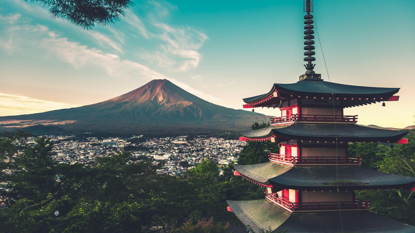
Kawaguchiko town, the station area and the main lakeside roads are covered without trouble. The same applies to the well-visited viewpoints and the Chureito Pagoda side.
Coverage thins as you move away from the built-up areas: forested stretches between the lakes, the quieter sides of Saiko and Motosuko, and the roads climbing toward the Fuji Subaru Line. This is ordinary mountain behavior rather than a gap in any one network, but it is a reason to download an offline map of the area before you leave Tokyo.
If you are driving rather than taking the bus, that offline map matters more, because the roads here have fewer alternatives and a wrong turn costs real time.
If you are climbing
The main climbing season runs roughly from early July to early September, and the official climbing routes are closed outside the season. A few connectivity points specific to the climb:
Coverage on the main trails and around many mountain huts is surprisingly good, but it is not uniform. Do not treat it as a guarantee, but you are not walking into a dead zone.
Battery is the real constraint. A climb typically involves a night at a hut, a pre-dawn start and a long descent, in cold air at altitude. Cold drains a battery much faster, especially when the phone is being used for navigation, photos and a flashlight. Carry a power bank, keep the phone inside your jacket rather than in an outer pocket, and download anything you need before you start walking.
Hut bookings, trail status and weather are all checked online, and conditions change. This is one of the few places in Japan where being reachable is a safety consideration rather than a convenience.

Mobal
Priced by the exact day, for the Tokyo stay this trip sits inside
940+ customer reviews, mostly positive
What to buy
Nothing specific to the area. Japanese tourist plans are nationwide and sold by duration, so the plan covering your Tokyo days covers this too.
| Party | Typical answer | Cost |
|---|---|---|
| Solo | One tourist eSIM | ¥3,850 for 7 days |
| Couple | Two individual eSIMs | ¥5,500 for 5 days |
| Family of 4 | One shared pocket Wi-Fi router | ¥8,558 for 7 days |
The one place we would steer away from a single shared router is a climb, for the same reason we do on a ski trip: a router only serves people within range of it, and a party on a mountain is strung out along a trail rather than standing together. Our Tokyo guide has the full cost comparison, since that is where most Fuji trips start.

Sakura Mobile
Pocket Wi-Fi or a physical SIM if a phone cannot take an eSIM
1,402 customer reviews, mostly 5-star but with some complaints
How much data a Mt Fuji trip uses
A reasonable rule of thumb is around 1-2GB per person per day. Live webcam video can add to that, but navigation, social media and photo uploads are usually the bigger data users. As usual the allowance is not the binding constraint; charge is.
Frequently Asked Questions
Why does a connection matter more around Mt Fuji?+
Because the weather decides the day. Fuji spends much of the year behind cloud and visibility can change within an hour, so live webcams and hourly forecasts are the difference between a memorable trip and a disappointing one.
Is there mobile coverage on the climbing trails?+
Coverage on the main trails and around many mountain huts is surprisingly good, but it is not uniform. Do not treat it as a guarantee, but you are not walking into a dead zone.
What is the real constraint on a climb?+
Battery. A climb typically means a night at a hut, a pre-dawn start and a long descent in cold air, with the phone used as a flashlight and camera. Carry a power bank and keep the phone inside your jacket.
Guides for the trips Mt Fuji sits inside
Most Mt Fuji visits are a day or a night out of a longer stay, so the plan you buy is the one covering that stay.
Tokyo 3 Days Business Trip: Best eSIM Options
For a short Tokyo business trip, reliability and zero setup friction matter more than saving a few dollars — here's the eSIM approach that gets you online the moment you land.
Updated July 28, 2026
Tokyo 5 Days Couple: SIM/eSIM Guide
Shinjuku and Shibuya separate couples for real, not hypothetically. Why each of you wants your own connection in Tokyo, what it costs against a shared router, and the Kamakura day trip.
Updated September 12, 2026
Tokyo 7 Days Solo Traveler: Best SIM/eSIM Options
How much data you actually need for a solo week in Tokyo, and which SIM/eSIM plans fit that usage without overpaying.
Updated July 28, 2026
Tokyo 10 Days Family of 4: Connectivity Guide
Ten days is long enough that older kids will want an afternoon on their own — the one thing a shared router cannot support. Plus the 7-vs-30-day rental pricing trap.
Updated September 12, 2026
Tokyo to Osaka 10 Days Family of 4: Connectivity Guide
A two-city family trip turns on one day: the Shinkansen transfer with luggage and children. Oversized bags need a reservation, and a rented router has to get home somehow.
Updated September 12, 2026
Japan 14 Days Multi-City Backpacker: Data Plan Guide
For a 14-day multi-city Japan backpacking trip, a longer-validity eSIM with a generous data cap beats juggling multiple short-term SIMs between cities.
Updated July 28, 2026